Gilles Bailleux Explores EXIF Data Integration with Drupal’s Leaflet Module
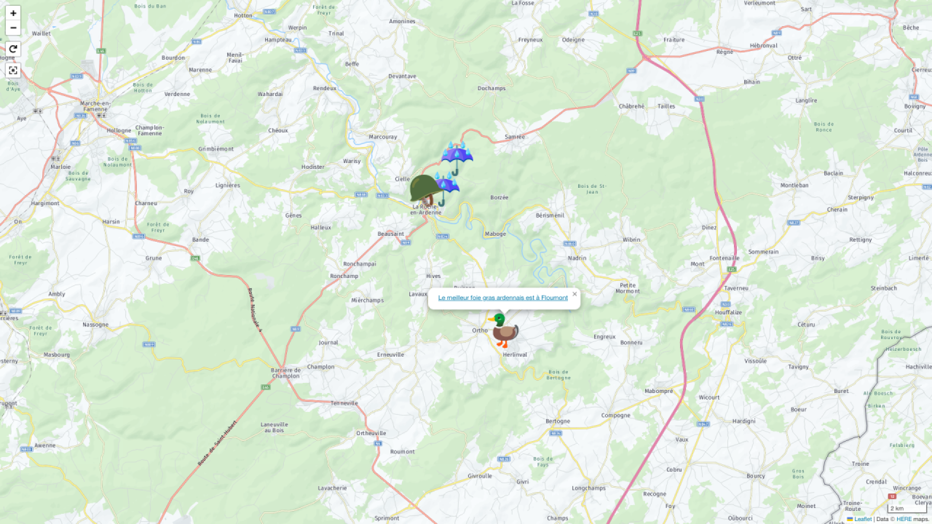
Gilles Bailleux, a staunch advocate for Drupal, recently shared insights on leveraging EXIF data from photographs to display locations on interactive maps using Drupal's Leaflet Module. This functionality is made possible by first preserving EXIF data through the ImageMagick module, and then installing the Leaflet module, which automatically includes the Geofield module, both maintained by Italo Mairo.
Gilles detailed the process, which involves configuring the Geocoder module to transform image metadata into usable geographic coordinates. These coordinates are then displayed as markers on a Leaflet map within a custom content type in Drupal. He exemplified this with a reference to Guy Gilloteaux, the Mayor of La Roche-en-Ardenne in Belgium, whose website employs these described features.
Gilles' article is a comprehensive guide for Drupal users looking to integrate geographic data with visual content. For more information, his full article is available on LinkedIn.
Source Reference
Disclosure: This content is produced with the assistance of AI.
Disclaimer: The opinions expressed in this story do not necessarily represent that of TheDropTimes. We regularly share third-party blog posts that feature Drupal in good faith. TDT recommends Reader's discretion while consuming such content, as the veracity/authenticity of the story depends on the blogger and their motives.
Note: The vision of this web portal is to help promote news and stories around the Drupal community and promote and celebrate the people and organizations in the community. We strive to create and distribute our content based on these content policy. If you see any omission/variation on this please let us know in the comments below and we will try to address the issue as best we can.


