



Canvas Map 1.0.0 Adds Google Maps and OpenStreetMap Components to Drupal Canvas

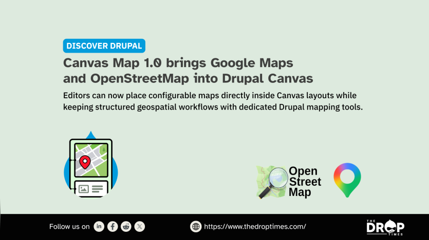
Released on 6 August 2026, Canvas Map 1.0.0 adds separate Google Maps and OpenStreetMap components that editors can place in Drupal Canvas layouts. Drupal.org lists the project as requiring Drupal 11.3 or later and Drupal Canvas 1.8 or later. A technical announcement published on 7 August by Omedia describes the release as a focused option for placing individual maps inside Canvas-built pages.
The module is aimed at editorial placements such as contact, office, event and venue maps rather than structured geographic data. Editors can configure zoom, map centre, aspect ratio, an accessible map name and provider-specific controls, with Google Maps accepting addresses, place names, Place IDs or coordinates and OpenStreetMap using coordinates. Canvas Map does not add geospatial fields, Views integration or spatial querying; the project points to Geofield, Geofield Map and Leaflet for broader mapping workflows.
Google Maps requires the Key module, a Google Cloud project, the Maps Embed API and a restricted API key, while the OpenStreetMap component does not require provider credentials. Maps from both providers render in third-party iframes, and the project notes consent and Content Security Policy considerations for sites that require them. The project page also states that AI coding agents are part of its development lifecycle and that every commit receives human review. The project is not covered by Drupal’s security advisory policy. The Omedia post also notes that the Google Maps key is sent to the browser as part of the iframe URL and should be restricted to the required API and permitted HTTP referrers.

ASK: Drupal Community Needs Your Support
View all →
Disclosure: This content is produced with the assistance of AI.
Note: The vision of this web portal is to help promote news and stories around the Drupal community and promote and celebrate the people and organizations in the community. We strive to create and distribute our content based on these content policy. If you see any omission/variation on this please reach out to us at #thedroptimes channel on Drupal Slack and we will try to address the issue as best we can.

Related Organizations

Related People


You may also like